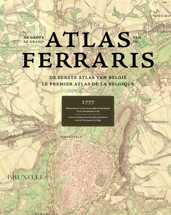
Atlas Ferraris
Cartography is one of the oldest arts known to man. Combining science, aesthetics, and technique, it builds on the premise that we can model reality in ways that communicate spatial information effectively.At the end of the 18th Century, the territory that is now Belgium was mapped by the Austrian Count De Ferraris, thus producing a unique historical document showing an area before the industrial revolution changed the landscape dramatically, it can be viewed as the one and only complete witness of geography during the Ancien Regime. With 275 hand-drawn topographic maps on a very detailed scale (1:11520 reduced to 1:25000) this is the first land-covering and detailed map ever made in Western Europe at the same scale.Beautifully illustrated with fantastic attention to detail, this book is a must-have reference material for historians, geographers and cartographers around the world.Text in French & Dutch.
| Auteur | | Onbekend |
| Taal | | Engels |
| Type | | Hardcover |
| Categorie | | Wetenschap & Natuur |