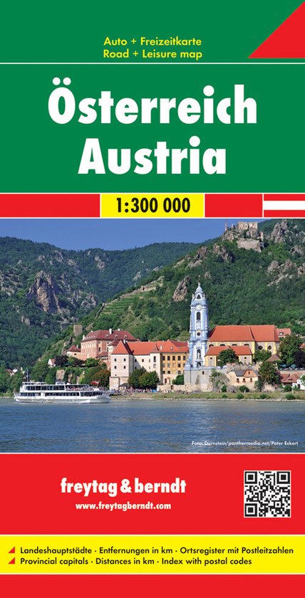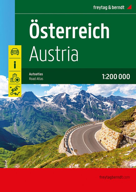
F&B Wegenatlas Oostenrijk Austria Road Atlas 1
Handzame wegenatlas op A4 formaat met goed leesbare kaarten waarop alle wegen duidelijk zijn aangegeven; plaatsnamenregister met postcodes; stadsplattegronden.
In addition to the clear design, the practical car atlas Austria 1:200,000 offers a lot of additional information such as sights, campsites and numerous city maps. Motorists and motorcyclists will appreciate the precise cartography from freytag & berndt, especially for on-site planning and orientation. Caravan drivers and campers will of course find all campsites and parking spaces in this road atlas for Austria. Information on the Austrian road atlas Scale 1:200,000 Extended map part Tourist information Register of places with postcodes Planning map of Europe 1:3.5 million Downtown maps with street index from Bregenz, Eisenstadt, Graz, Innsbruck, Klagenfurt, Linz, Salzburg, St. Polten and Vienna.
| Auteur | | Freytag Berndt |
| Taal | | Duits |
| Type | | Paperback |
| Categorie | | Reizen |
