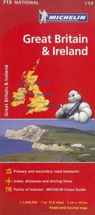
Michelin Map Great Britain & Ireland National 713
Renowned for over 100 years for their clear, accurate and easy-to-read mapping, Michelin country maps give travelers an overall picture of their route, with practical road and travel information; and city maps containing extensive street indexes orient them quickly so they can find their way to their destination.
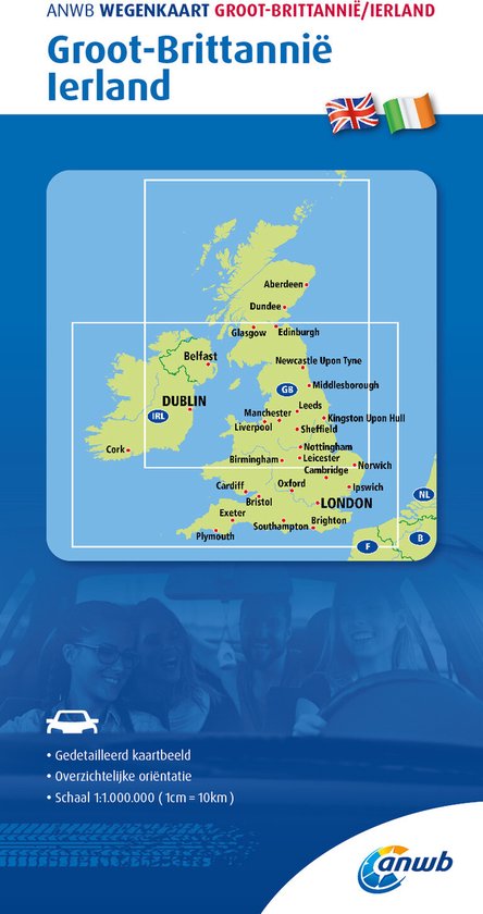
Updated annually, MICHELIN National Map Great Britain & Ireland will give you an overall picture of your journey thanks to its clear and accurate mapping scale 1/1,000,000. Our map will help you easily plan your safe and enjoyable journey in Great Britain and Ireland thanks to a comprehensive key, a complete name index as well a clever distance & time chart. Michelin's driving information will help you navigate safely in all circumstances. In addition, MICHELIN National Map Great Britain & Ireland is cross-referenced with the famous MICHELIN Green Guide highlighting destinations worth stopping for! With MICHELIN National Maps, find more than just your way! MICHELIN NATIONAL MAPS feature: * Up-to-date mapping * A scale adapted to the size of the country * A clear and comprehensive key * Distance and time chart * Place name index * Driving and road safety information * Tourist sights information Our maps are regularly updated even if the ISBN does not change.
Updated annually, MICHELIN National Map Great Britain & Ireland will give you an overall picture of your journey thanks to its clear and accurate mapping scale 1/1,000,000. Our map will help you easily plan your safe and enjoyable journey in Great Britain and Ireland thanks to a comprehensive key, a complete name index as well a clever distance & time chart. Michelin's driving information will help you navigate safely in all circumstances. In addition, MICHELIN National Map Great Britain & Ireland is cross-referenced with the famous MICHELIN Green Guide highlighting destinations worth stopping for! With MICHELIN National Maps, find more than just your way! MICHELIN NATIONAL MAPS feature: * Up-to-date mapping * A scale adapted to the size of the country * A clear and comprehensive key * Distance and time chart * Place name index * Driving and road safety information * Tourist sights information Our maps are regularly updated even if the ISBN does not change.
| Auteur | | |
| Taal | | |
| Type | | |
| Categorie | | Reizen |
