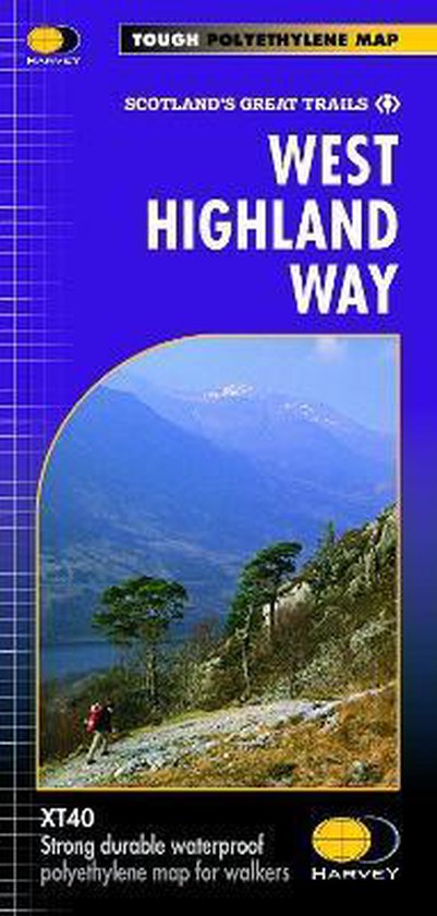
West Highland Way XT40
The West Highland Way is 96 miles (153 km) long and links Milngavie (Glasgow) to Fort William. It run's from Scotland's largest city to the foot of its highest mountain, Ben Nevis, through the Loch Lomond and Trossachs National Park.
Detailed mapping, full legend in English, French and German. National Grid.
Detailed mapping, full legend in English, French and German. National Grid.
| Auteur | | Harvey Map Services Ltd. |
| Taal | | Engels |
| Type | | Losbladig |
| Categorie | | Wetenschap & Natuur |
