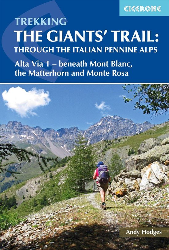
Trekking the Giants' Trail: Alta Via 1 through the Italian Pennine Alps
A guidebook to trekking the Alta Via 1, the Giants’ Trail, between Donnas and Courmayeur in the Italian Alps. Covering 180km (112 miles), this long-distance trail on the northern flank of the Aosta valley takes around 2 weeks to hike and is suitable for hikers with some experience of Alpine trekking.
The route is described from east to west in 16 stages, each between 4 and 17km (2–11 miles) in length. Alternative stages covering some popular variants, including an optional detour to visit the famed monastery at the Great St Bernard Pass, are also detailed.
- 1:50,000 maps included for each stage
- GPX files available to download
- Refreshment, facilities and mountain hut information given for each trek stage
- Spectacular views of the alpine giants Mont Blanc, the Matterhorn and Monte Rosa
- Can be combined with Alta Via 2 to form the Tor des Géants
| Auteur | | Andy Hodges |
| Taal | | Engels |
| Type | | E-book |
| Categorie | | Reizen |
