England And Wales Classic, Laminated
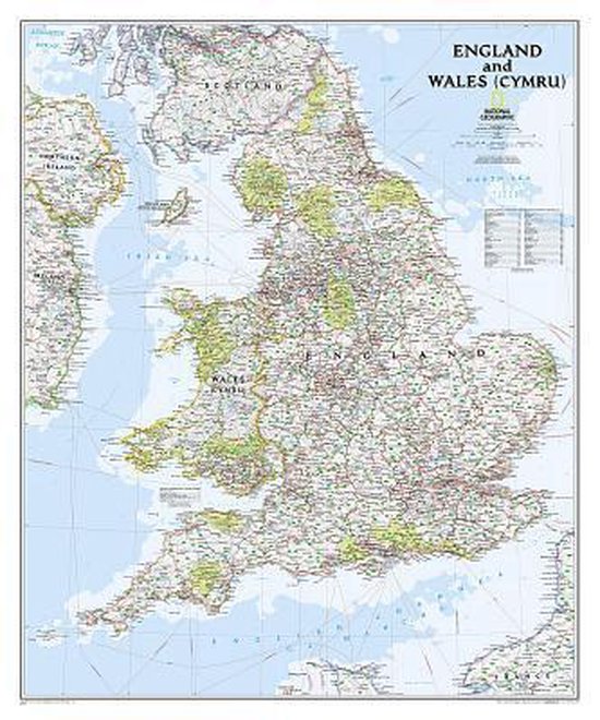
This classic-style map of England and Wales shows political boundaries, major highways and roads, cities and towns, airports, and other geographic details. Thousands of place-names and exact borders are carefully researched by National Geographic's map researchers and editors ensuring the utmost accuracy.
Map is printed on premium quality paper stock, laminated, rolled, and packaged in a clear plastic sleeve.
Map is printed on premium quality paper stock, laminated, rolled, and packaged in a clear plastic sleeve.
- Map Scale = 1:868,420
- Sheet Size = 30" x 36"
| Auteur | | National Geographic Maps |
| Taal | | Engels |
| Type | | Losbladig |
| Categorie | | Wetenschap & Natuur |
Kijk verder