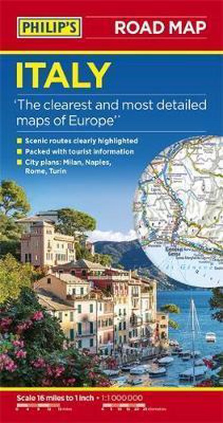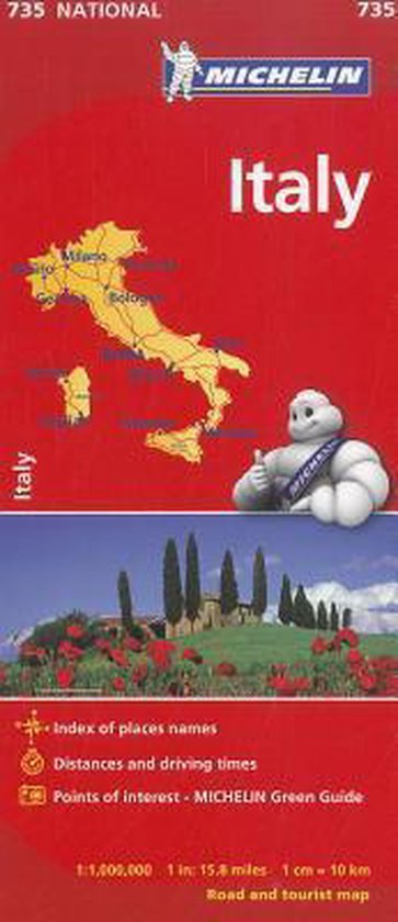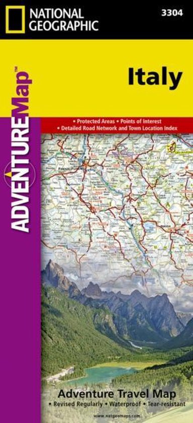
Italy Adventure Travel Map
• Waterproof • Tear-Resistant • Travel Map
National Geographic's Adventure Map of Italy is an invaluable tool for travelers seeking to explore the rich history, romance, and iconic landscapes of this remarkable country. Cities and towns are clearly indicated and easy to find in the user-friendly index. A road network complete with distances and designations for roads, motorways, expressways, and secondary routes will help you find the route that's right for you. This map provides global travelers with the perfect combination of detail and perspective, highlighting hundreds of points of interest and the diverse and unique destinations within the country including UNESCO World Heritage Sites, archaeological sites, museums, scenic viewpoints, castles, parks, and churches.
The northern half of the country is shown from its borders with France, Switzerland, Austria, and Slovenia to its capital, Rome, and includes the provinces of Aosta Valley, Piedmont, Lombardy, Trentino-Alto Adige, Friuli-Venezia Giulia, Veneto, Emilia-Romagna, Liguria, Tuscany, Marche, Umbria, Lazio, Abruzzo, and Molise. The southern half of the country including the Mediterranean islands of Sicily and Sardinia, and the provinces of Campania, Apulia, Basilicata, and Calabria are covered on the other half of the map.
Italy is a country that manages to balance a progressive, inventive approach to life with its rich and cherished history. Its mark on the world has included the political expanse of the Roman Empire, the religious prominence of the Catholic Church, the cultural movement of the Renaissance, and extraordinary influence in the areas of architecture, art, music, literature, theater, cinema, science, fashion, and cuisine. The combination of these diverse attractions and its temperate climate make Italy a perennial favorite for travelers the world over.
Every Adventure Map is printed on durable synthetic paper, making them waterproof, tear-resistant and tough — capable of withstanding the rigors of international travel.
- Map Scale = 1:1,000,000
- Sheet Size = 37.75'' x 25.5''
- Folded Size = 4.25'' x 9.25''
| Auteur | | National Geographic Maps |
| Taal | | Engels |
| Type | | Bindwijze overig |
| Categorie | | Reizen |
