How to Make Maps
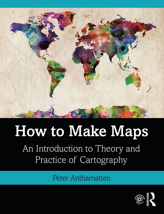
The goal of How to Make Maps is to equip readers with the foundational knowledge of concepts they need to conceive, design, and produce maps in a legible, clear, and coherent manner, drawing from both classical and modern theory in cartography.
The goal of How to Make Maps is to equip readers with the foundational knowledge of concepts they need to conceive, design, and produce maps in a legible, clear, and coherent manner, drawing from both classical and modern theory in cartography.
This book is appropriate for graduate and undergraduate students who are beginning a course of study in geospatial sciences or who wish to begin producing their own maps. While the book assumes no a priori knowledge or experience with geospatial software, it may also serve GIS analysts and technicians who wish to explore the principles of cartographic design.
The first part of the book explores the key decisions behind every map, with the aim of providing the reader with a solid foundation in fundamental cartography concepts. Chapters 1 through 3 review foundational mapping concepts and some of the decisions that are a part of every map. This is followed by a discussion of the guiding principles of cartographic design in Chapter 4—how to start thinking about putting a map together in an effective and legible form. Chapter 5 covers map projections, the process of converting the curved earth’s surface into a flat representation appropriate for mapping. Chapters 6 and 7 discuss the use of text and color, respectively. Chapter 8 reviews trends in modern cartography to summarize some of the ways the discipline is changing due to new forms of cartographic media that include 3D representations, animated cartography, and mobile cartography. Chapter 9 provides a literature review of the scholarship in cartography. The final component of the book shifts to applied, technical concepts important to cartographic production, covering data quality concepts and the acquisition of geospatial data sources (Chapter 10), and an overview of software applications particularly relevant to modern cartography production: GIS and graphics software (Chapter 11). Chapter 12 concludes the book with examples of real-world cartography projects, discussing the planning, data collection, and design process that lead to the final map products.
This book aspires to introduce readers to the foundational concepts—both theoretical and applied—they need to start the actual work of making maps. The accompanying website offers hands-on exercises to guide readers through the production of a map—from conception through to the final version—as well as PowerPoint slides that accompany the text.
| Auteur | | Peter Anthamatten |
| Taal | | Engels |
| Type | | Paperback |
| Categorie | | Wetenschap & Natuur |
