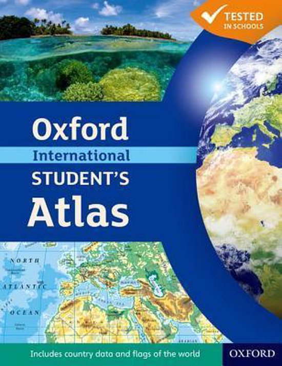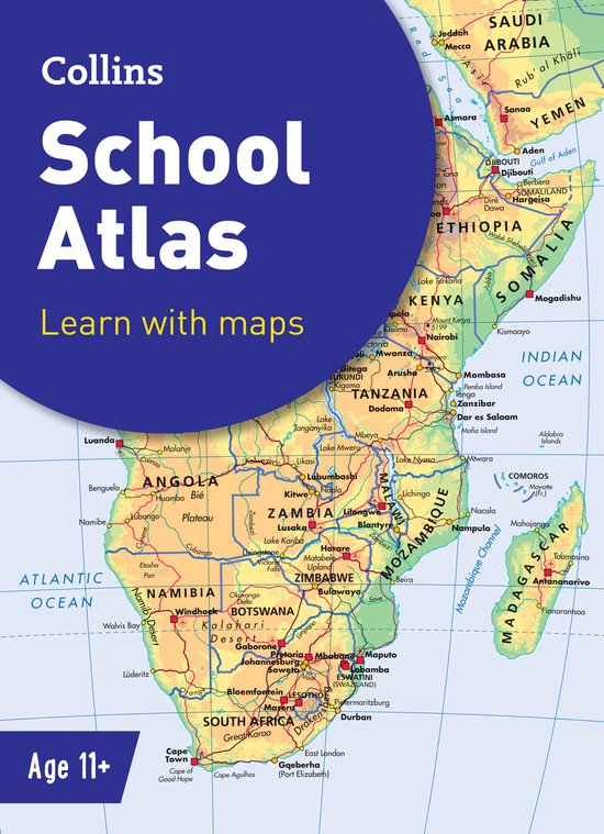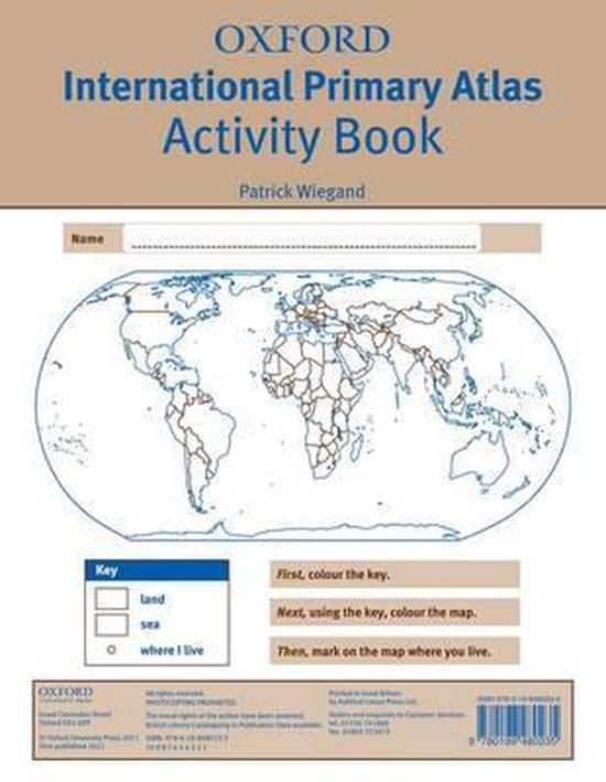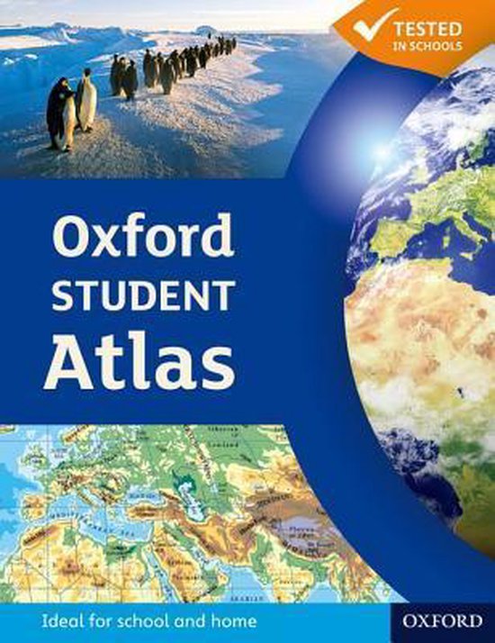
Oxford Students Atlas
The most engaging 14-18 atlas.
The Oxford Student Atlas includes stunning satellite images, country data, and easy-to-read colourful mapping, presented in an accessible visual layout based on research into how students use maps. The atlas covers key exam specification themes and issues such as earthquakes and volcanoes, climate and climate change, economic activity, development, and globalisation. It includes comprehensive coverage of the British Isles, Europe, and the world. It is the ideal atlas for students to use on exam courses.
The Oxford Student Atlas includes stunning satellite images, country data, and easy-to-read colourful mapping, presented in an accessible visual layout based on research into how students use maps. The atlas covers key exam specification themes and issues such as earthquakes and volcanoes, climate and climate change, economic activity, development, and globalisation. It includes comprehensive coverage of the British Isles, Europe, and the world. It is the ideal atlas for students to use on exam courses.
| Auteur | | Patrick Wiegand |
| Taal | | Engels |
| Type | | Paperback |
| Categorie | | Kinderboeken |
