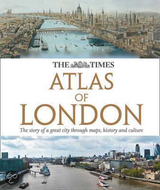
Times Atlas of London
Authoritative and prestigious atlas with detailed mapping and photographs for the whole of Greater London. Fully up-to-date reference maps, statistics, images, and historical mapping give an exceptionally detailed view of London helping you explore this great city. Contents include; The mapping of London 12 pages covering the history of mapping London with extracts from maps from the 16th century to the present day. London in context Regional map of the southeast Physical map with rivers and parks of London Geology Climate Comparisons with other British and international Defining London The Greater London area Parliamentary constituencies map, London Assembly constituency map. Chronology of London London Today Sections on each London borough, listed alphabetically. For each borough there is to be a locator map and selected street mapping, either to show changes (using street mapping 1908, 1941 and 2010) or just to provide greater detailfor example the City, Westminster and Kensington and Chelsea as well as the southern parts of Camden and Islington The sections on the boroughs are to be interspersed with thematic spreads covering London-wide topics.
| Auteur | | Times Uk |
| Taal | | Engels |
| Type | | Hardcover |
| Categorie | | Taal |
