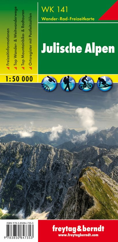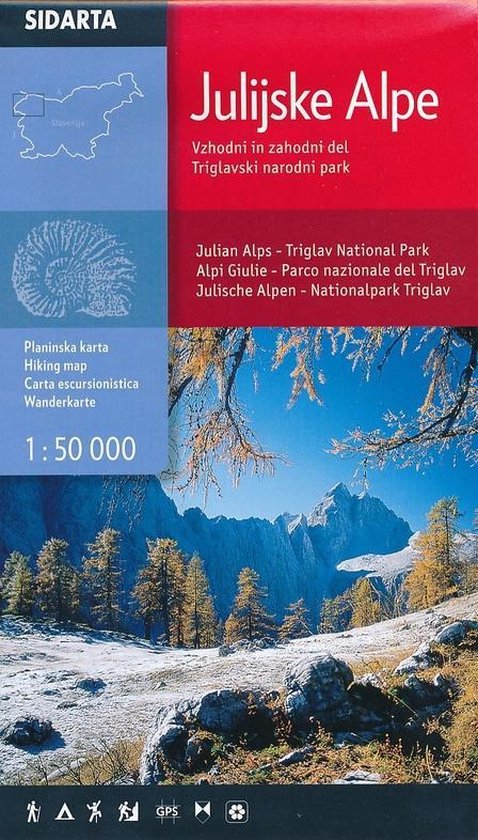
Wandelkaart Julijske Alpe / Julische Alpen 1:50.000 Slovenie
Dit is de overzichtskaart 50.000 van de Julische Alpen, er zijn daarnaast van uitgever Sidarta nog 3 hele goede deelkaarten 25.000 van dit gebied.
Deze dubbelzijdige detailkaart (1:50.000) heeft ingetekende wandelroutes waarbij met verschillende kleuren de moeilijkheidsgraad wordt aangegeven, een aanduiding van de berghutten (met op de achterzijde meer informatie over deze hutten als openingstijden en capaciteit) en andere handige zaken voor wandelaars. Zelfs benzinepompen en busstops zijn vermeld.
Daarnaast kent de kaart veel topografische details als hoogtelijnen, terrein-informatie en naamsaanduidingen. Door graden-aanduiding aan de zijkant is de kaart GPS toepasbaar.
- Julian Alps- Julijske Alpe - Triglav National Park hiking map 1:50,000 Slovenie
- All alpine paths graded easy, difficult, very difficult
- Marked tourist paths around Bled, Kranjska Gora, Bovec, kobarid
- 'Walks of Peace' trail marked a historical path round the frontline from the 1st World War
(The isonco Front)
- Border of Triglav national park market
- GPS system of co-ordinates (WGS84 and Gauss-Kruger)
- Natural and cultural areas
- Climbing areas
- Back of the map has drawings of mountain huts with all the information you need.
- Folded map in plastic wallet
| Auteur | | |
| Taal | | |
| Type | | |
| Categorie | | Reizen |
